


LA ROBINE , S Jean du Désert , lames Facibelle o l m s

RobinMicheline
User GUIDE


Length
8.4 km

Max alt
1231 m

Uphill gradient
533 m
Km-Effort
15.5 km

Min alt
792 m

Downhill gradient
534 m
Boucle
Yes
Creation date :
2022-07-10 03:30:47.354
Updated on :
2022-07-10 07:20:30.095
2h54
Difficulty : Medium

FREE GPS app for hiking
 SityTrail
IGN / Geographical institutes
SityTrail Plus
The world is yours!
About
Trail Walking of 8.4 km to be discovered at Provence-Alpes-Côte d'Azur, Alpes-de-Haute-Provence, La Javie. This trail is proposed by RobinMicheline.
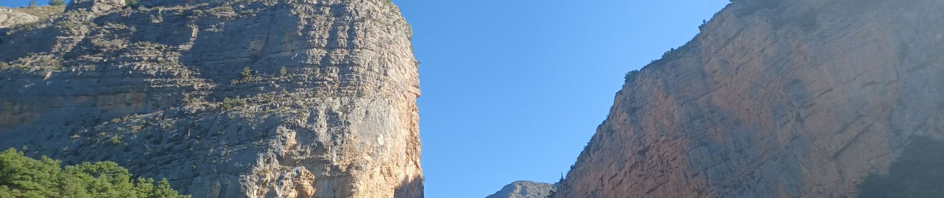
Photos


29 photos in total. Please click on a photo to see them all in the gallery.
Positioning
Country:
France
Region :
Provence-Alpes-Côte d'Azur
Department/Province :
Alpes-de-Haute-Provence
Municipality :
La Javie
Location:
Unknown
Start:(Dec)
Start:(UTM)
282206 ; 4899929 (32T) N.
Comments